-
-
-
-
-
-
-
-
-
-
-
-
-
-
-
-
-
-
-
-
-
-
-
-
-
-
-
Freshwater Management Units
-
-
-
-
-
-
Water is ORC’s No.1 priority. We are changing how we manage water in Otago and we want you to be involved.
All regional councils must set Freshwater Management Units (FMUs) under the Ministry for the Environment’s National Policy Statement for Freshwater Management 2020. An FMU is a waterbody or multiple waterbodies that is at an appropriate scale for managing water and setting freshwater objectives and limits. This can be a river catchment, part of a catchment, or a group of catchments.
We set FMUs for Otago in April 2019 (see map below), aiming for each FMU or rohe can ensure water management is based on locally determined values, rather than on a ‘one-size-fits all’ region-wide approach.
The concept of ki uta ki tai (from the mountains to the sea) recognises the movement of water through the landscape and its interactions along the way. This concept has shaped the FMU boundaries, along with cultural knowledge and values, land use, geological and scientific maps and other relevant information.
The larger FMUs are subdivided into smaller areas (rohe), to acknowledge the unique values and objectives for different parts of a catchment. The FMUs and rohe also gave us practical areas for carrying out community consultation while developing the LWRP between October 2020 and November 2023.

Clutha/Mata-au
The Clutha/Mata-au in Otago is the largest area for managing freshwater. It's divided into five smaller zones called "rohe" to better involve local communities in decisions.

Dunstan Rohe
Within the Clutha Mata-Au FMU, the Dunstan Rohe runs from the outlets of lakes Wānaka, Whakatipu and Hāwea down to Clyde Dam and includes the Kawarau, Nevis, Shotover, Upper Clutha/Mata-au, Hāwea, Cardrona, Arrow, and Lindis Rivers.

Lower Clutha Rohe
Within the Clutha Mata-Au FMU, the Lower Clutha Rohe includes the Pomahaka catchment, as well as several other river catchments that feed the Clutha/Mata-au.

Manuherekia Rohe
Within the Clutha Mata-Au FMU, the Manuherekia Rohe is based on the catchment area of the Manuherekia River.

Roxburgh Rohe
Within the Clutha Mata-Au FMU, the Roxburgh Rohe extends from the Clyde Dam to Beaumont, and covers Alexandra, Clyde, and Roxburgh.

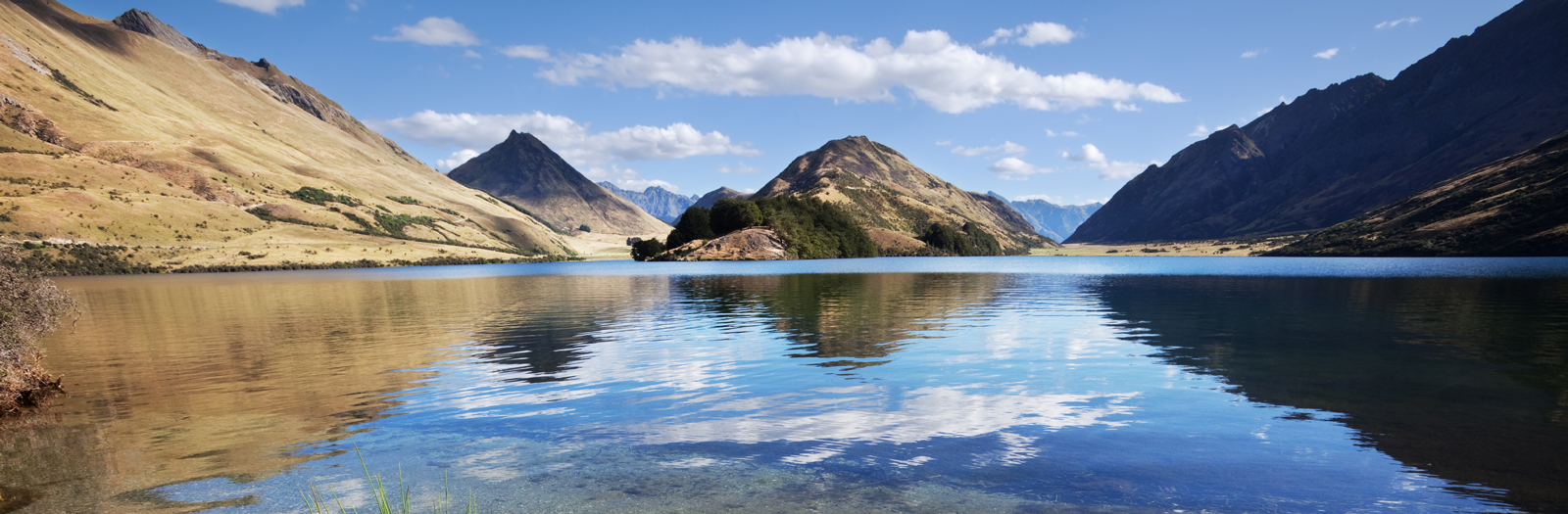
Upper Lakes Rohe
Within the Clutha Mata-Au FMU, the Upper Lakes Rohe covers the lakes of Whakatipu, Wānaka and Hāwea, from their tributaries to their outlets and is around 7,000 square kilometres.

Catlins FMU
The Catlins Freshwater Management Unit (FMU) is located along the southern coast of Otago.

Dunedin & Coast FMU
The Dunedin & Coast Freshwater Management Unit (FMU) spans over 1,000 square kilometres and runs from just south of Karitane down to the mouth of the Clutha/Mata-Au.

North Otago FMU
The North Otago Freshwater Management Unit (FMU) covers about 296,000 hectares and extends from Waitaki Bridge down through Oamaru, Moeraki, and Palmerston townships to the bottom of the southern branch of the Waikouaiti River.

Taiari/Taieri FMU
The Taiari/Taieri Freshwater Management Unit (FMU) covers the entire Taiari/Taieri River catchment, reaching from Taiari/Taieri Mouth across the Taiari/Taieri Plain into the Strath Taiari/Taieri and Maniototo Basins.