The survey is, in part, a response to concerns the community has expressed regarding gravel build-up and the information gathered will be important for making decisions on whether the gravel should be extracted.
The flyover will be relatively low over the area during the survey and is scheduled for this Wednesday. If the survey cannot be completed due to weather, it will be rescheduled for next week.
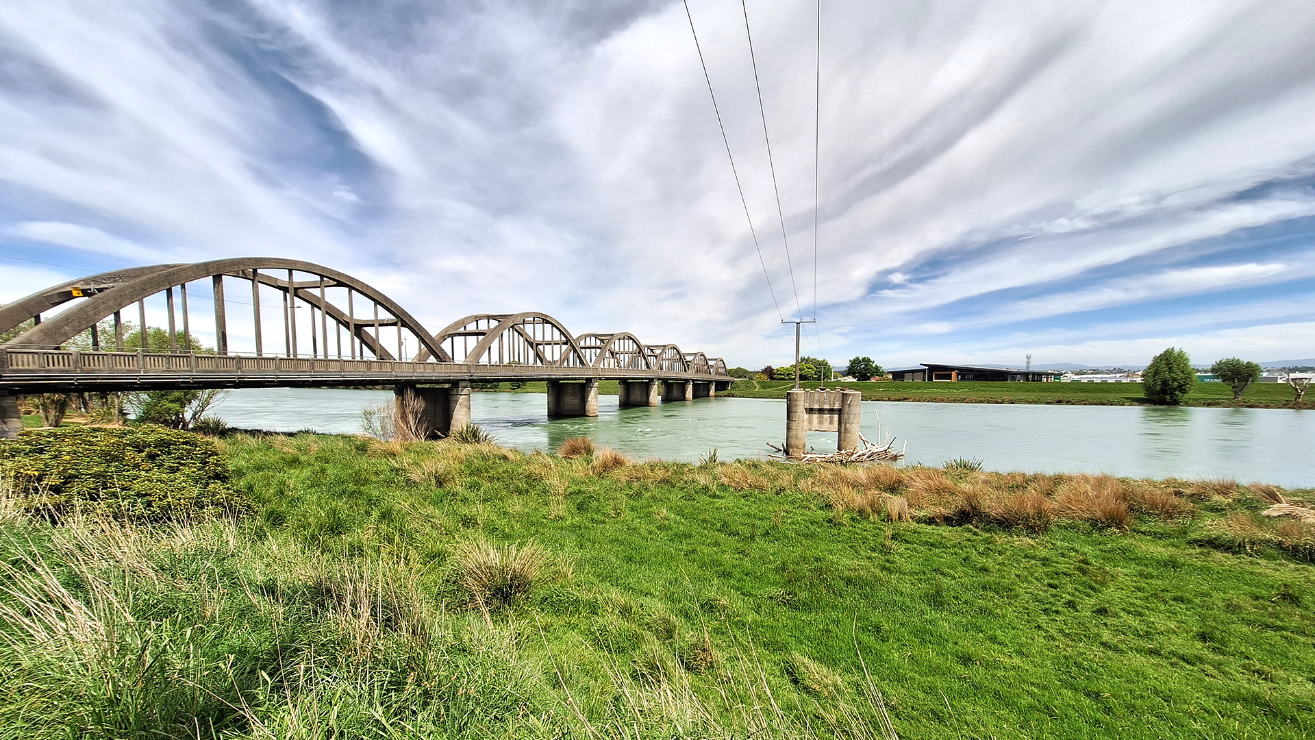
Changes in the Clutha River/Mata-Au riverbed at Balclutha and in the wider Clutha Delta area are monitored by ORC.
This survey of the riverbed is to acquire bathymetry, a type of hydrographic survey that maps the details of underwater terrain. It is achieved using light and detection ranging (LiDAR). A laser scanner aboard the helicopter emits a pulse that passes through the water and is reflected on the bottom of the riverbed.
The effects of riverbed changes on flood levels will be assessed. This will build on the analysis previously reported by ORC.
ORC is currently developing a comprehensive flood hazard investigation for the full Clutha Delta and the Lower Clutha flood protection and drainage scheme area, including Balclutha. This investigation is part of a wider natural hazards adaptation programme for the Clutha Delta area.