The results, recently published on LAWA’s website, show that Otago’s estuaries range in health from the Tautuku in the Catlins which is in good condition, to ones showing signs of modification and degradation, such as the Tokomairiro near Milton and Kaikorai in Dunedin, says ORC Coastal Scientist Dr Sam Thomas.
“Tautuku Estuary is a stunning area that represents an important reference site against which long-term changes in other similar estuary types across the Otago region can be compared, largely because of the excellent quality of its freshwater inputs and due to 97.9% of indigenous vegetation still remaining in the catchment,” he says.
Estuaries provide a transition from the river environments to the sea, and are dynamic, tidal environments which provide important ecosystem functions and habitats for plants and animals. Three of the indicators of estuary health measured nationally by councils are mud content, contaminants, and estuary macrofauna.
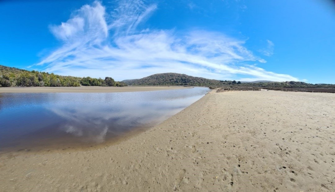
Tautuku Estuary in the Catlins.
“Equally, Papanui inlet and Blueskin Bay provide examples of estuaries in good health, in catchments which are more developed. They have large extensive seagrass and cockle beds that are important for ecosystem health,” Dr Thomas says.
The other estuaries are Catlins, Pleasant River, Shag and Waikouaiti. Each of the eight estuaries has an overview of its characteristics, local river quality and the type of surrounding land cover.
“The state of an estuary is a reflection of land use practices throughout the river catchment from both current and historic land use. Estuarine health can be impacted by land use such as forestry, intensive agricultural practices, urbanisation, and water discharge practices,” he says.
“The monitoring results help the Council understand trends in estuarine health to inform catchment management, but equally the results also determine whether land use activities impacting on estuaries are being managed effectively,” he says.
The estuary state of the environment monitoring programme is currently being extended and reviewed to ensure the data is as robust as possible.

Blueskin Bay Estuary north of Dunedin.
“Otago’s estuary information, including monitoring reports, fact sheets and state of health data, can now be found on the Land Air Water Aotearoa (LAWA) website under the new Estuary Health topic, which is a fantastic free science resource for everyone,” says Dr Thomas.
“Another important resource is the Regional Plan: Water for Otago (currently in the process of consultation to develop an updated Land and Water Regional Plan), which includes limits for the amounts of nitrogen, phosphorus, and E. coli across catchments. These limits are designed to protect waterways, including estuaries and will implement requirements in the National Policy Statement for Freshwater Management.”
The LAWA dataset covers 81 estuaries across the country, from Auckland to Southland, captured from 389 monitoring sites; including 19 sites across the eight Otago estuaries.
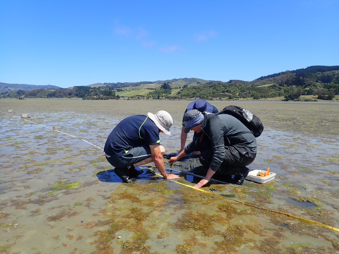
ORC scientists working at a Blueskin Bay monitoring site.
Find more about the Otago Water Plan