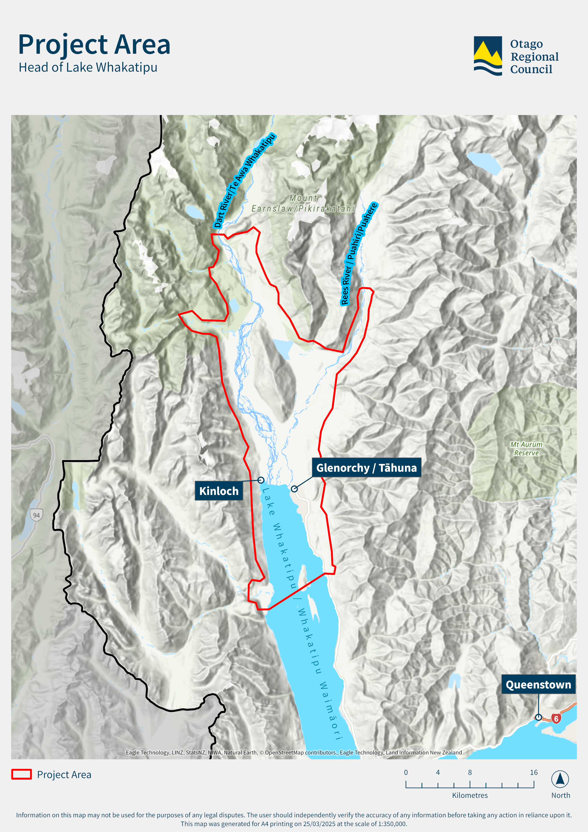
Head of Lake Whakatipu and Glenorchy

At the head of Lake Whakatipu, the townships of Glenorchy and Kinloch, and surrounding rural areas of the Dart and Rees, Paradise and Greenstone valleys, are exposed to a complex range of flooding, landslide and earthquake-related hazards.
These natural hazards are relatively frequent and can be disruptive. Climate change is expected to bring more frequent and intense weather events to the townships and surrounding areas at the head of lake Whakatipu, which could exacerbate the size, frequency and destructive potential of natural hazards.

Managing these natural hazard threats is a difficult challenge, but we need to adapt.
We have established a Head of the Lake natural hazards adaptation programme. By working closely with the community on this programme, we can make the area more resilient to these hazards.

Visit the Head of Lake Whakatipu pages for more information about:

Our Head of Lake Whakatipu natural hazards adaptation program aims to build resilience through collaboration with the community. Access reports, program information, and community workshops to learn more and get involved in enhancing resilience in this area.

We're working on ways to manage flooding and ground movement risks in the Head of Lake Whakatipu area. This involves affordable solutions supported by the community, like building structures or planning differently.

View all the reports for the Head of the Lake Adaptation programme, as well as climate change reports and council updates.

The Head of Lake Whakatipu FAQ page provides answers to common questions about natural hazard management in Glenorchy. It covers flood risks, earthquake impacts, and mitigation strategies based on ORC studies and expert advice, helping you make informed decisions about safety in the region.
Find out about our work, ask questions, share comments, or get in touch to find out how you can participate in this adaptation project:

We will work with the local community, project partners and consultant experts to discuss the issues and possible future options for the area.

Sign up to the Head of Lake Whakatipu newsletter for monthly community updates (you can also view previous newsletters).